Robotics datasets for SLAM, visual odometry and localization
Public datasets recorded with instrumented vehicles and mobile robots, released to benchmark SLAM, visual odometry, loop closure, place recognition, localization and mapping algorithms. All of them are free to download. If you use them in your work, please cite the corresponding paper.
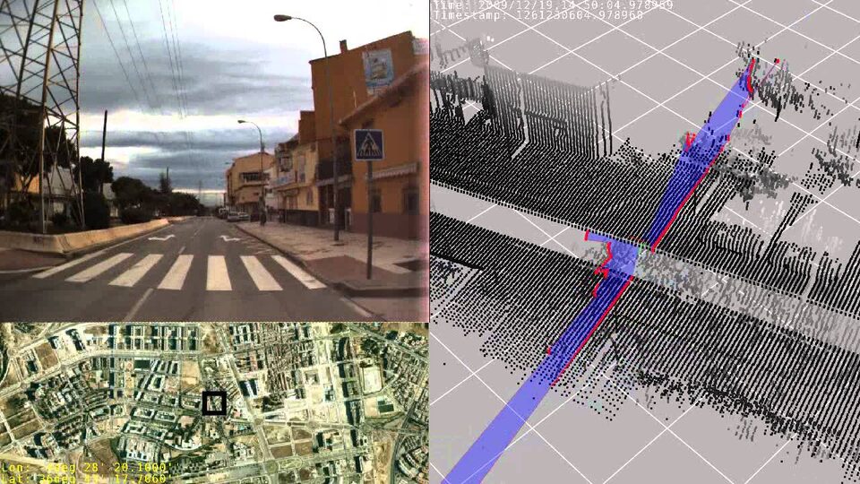
Málaga Urban Dataset
Stereo + 5 LiDARs + GPS + IMU in real urban traffic: 36.8 km, 20 fps stereo at 1024x768, 15 ready-to-use extracts. For SLAM, visual odometry and loop closure.
IJRR 2014 · CC BY 4.0
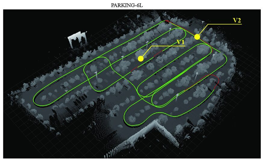
Málaga 2009 Dataset
Six outdoor sequences with centimeter-accuracy 6D ground truth from three RTK GPS receivers, plus lasers, cameras and IMU. For visual SLAM, 2D SLAM and localization.
Autonomous Robots 2009 · CC BY 4.0
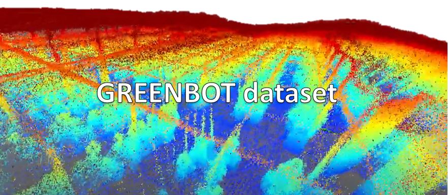
GREENBOT Greenhouse Dataset
Multimodal mobile robot dataset in a Mediterranean greenhouse: Velodyne VLP-16 and Ouster OS0 LiDARs, stereo camera and GNSS/IMU. Nine sequences as ROS bags and MRPT rawlogs.
Sensors 2024 · CC BY-NC-SA 3.0
How to cite
Every dataset page includes the paper reference and a BibTeX entry:
- Málaga Urban Dataset: Blanco-Claraco, Moreno-Dueñas and González-Jiménez, The International Journal of Robotics Research, 2014, DOI 10.1177/0278364913507326.
- Málaga 2009 Dataset: Blanco, Moreno and González, Autonomous Robots, 2009, DOI 10.1007/s10514-009-9138-7.
- GREENBOT Dataset: Cañadas-Aránega, Blanco-Claraco, Moreno and Rodriguez-Diaz, Sensors, 2024, DOI 10.3390/s24061874.
Tools to work with the data
- The rawlog binary files of these datasets are part of the Mobile Robot Programming Toolkit (MRPT). They can be inspected with RawLogViewer and processed from C++ code. See the rawlog format.
- MOLA is a modular framework for LiDAR odometry, SLAM and localization, able to read these datasets.
Looking for the old pages?
The datasets were previously described in the MRPT web site at mrpt.org/MalagaUrbanDataset and mrpt.org/malaga_dataset_2009. These pages are their new home.